Inshore & Bathymetric Surveys
►
2D & 3D In-Shore River & Bank Surveys.
►
Cross Sections & Profiles.
►
Flood Defences & Flood Plain Sections.
►
Dam & Reservoir Specific Surveys.
►
Tidal Flow Studies.
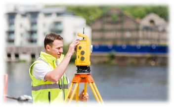
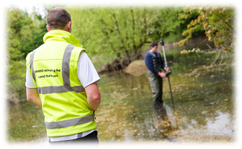
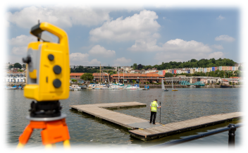
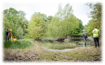
Dando Surveying Ltd has a proven track record in the provision of in-shore and bathymetric surveys for all areas and environments affected by water.
We supply detailed surveys for a multitude of applications, from the planning of new flood defences/management of existing flood plains, right through to surveys used for the environmental management of birds that nest on riverbanks. We can also provide watercourse and river cross sections and water volume measurements.
All surveys are tied to GPS control (as specified by the Environment Agency) and are provided stand alone or linked to our topographical and/or utility detection services as required. As we use the latest survey technology, we are also able to laser scan existing water structures such as bridges using 3D scanning equipment. We use our own watercrafts that are fully insured for these purposes where necessary.
Specific areas of experience include:-
►
Rivers, Estuaries & Harbours.
►
Lakes & Reservoirs.
►
Canals & Inland Waterways.
►
Beaches & Coastlines.
Examples