Topographical Surveys
►
As Constructed Surveys (Section 38, 104 & 278)
►
Boundary Establishment & Disputes.
►
Area & Volume Calculations.
►
GPS Surveys & Control Establishment.
►
Deformation & Subsidence Monitoring.
►
Railway Surveys.
►
Available in 2D & 3D DTM.
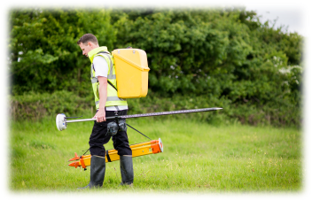
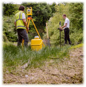
Dando Surveying Ltd use the latest Trimble Robotic Total Stations and GPS equipment enabling us to provide topographical surveys to suit every client requirement, with all surveys being related to Ordnance Survey Datum and National Grid.
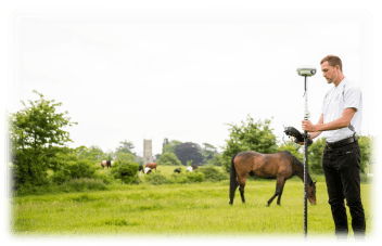
On larger surveys or where the establishment of accurate control points or three dimensional baselines are required, we use the latest GPS Equipment. The global network of satellites enables our surveyors to pinpoint features of interest, to just millimetres.
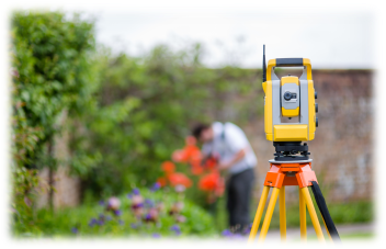
Non-contact, reflectorless technology, allows remote measurement of features such as buildings, ridges and eaves without gaining physical access to those areas. This is also used for motorways, railway tracks and other areas where physical access may present a Health & Safety risk, allowing the safe collection of information, that would be otherwise unobtainable.
We utilise Trimble Data Loggers and software enabling us to provide quick and accurate surveys to every client from a single plot self-build, to a blue chip multi-national.
All surveys are produced in the latest version of AutoCad and also a PDF as a matter of course. Available in 2D and 3D DTM and any medium required.
Specific areas of experience include:-
►
Small & Large Domestic Properties.
►
Forests.
►
Rivers, Ditches and Reservoirs.
►
Housing Estates.
►
Highways & Motorways (Including Crash Investigation Surveys)
►
Railways.
►
Industrial Estates.
►
Retail & Supermarket Development.
►
Greenfield Sites & Farmland.
►
Quarries & Caves.
►
Flood Risk Assessment/Planning & Site Drainage.
►
Boundary Disputes & Land Registry Services.
Examples